Loading raster with no georeferencing information
Some image formats, such as ERDAS IMAGINE, BSQ, BIL, BIP, GeoTIFF, and grids, store the georeferencing information in the header of the image file. Several other image formats (JPG, PNG, BMP, GIF and TIF) store this information in a separate text ASCII file, whichthe same name as the image, with the letter w appended.
Sextante Raster Images since OpenJUMP version 4397
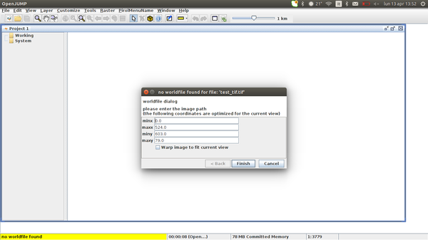
Loading in OpenJUMP image file with no georeferencing information opens a wizard dialog that allows to create a world file and to load the image into the view.
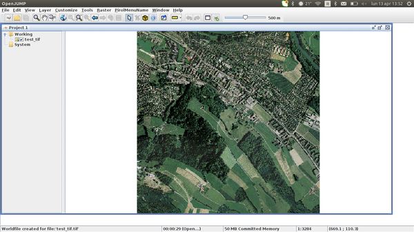
The default option allowas to load the image into the current view, saving the original file image width/height ratio
A)

B)

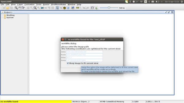
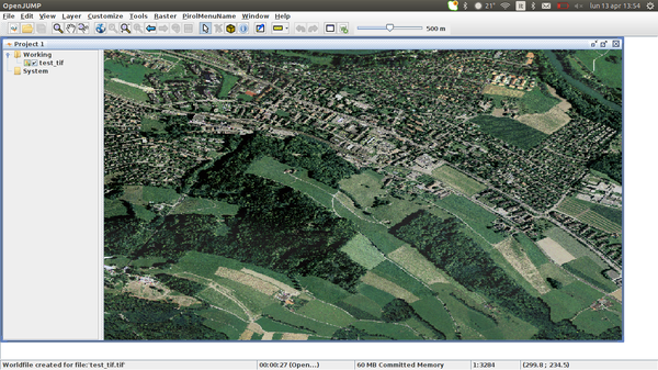
Enabling the option Warp image to fit current view will deform the image to fit the current view
C)

D)

In both case a new world file will be created for the loaded image.
To reset the transformation delete the world file and reload the image
Sextante Raster Images before OpenJUMP version 4397
Loading in OpenJUMP image file with no georeferencing information opens a wizard dialog that allows only to deform the image to current view
Images loaded via Open File wizard
The image will be automatically loaded into the view, proportionally to its height/width proportions. The upper left corner of the image will be anchored to coordinates (0,0)