Who uses OpenJUMP
Jump to navigation
Jump to search
The printable version is no longer supported and may have rendering errors. Please update your browser bookmarks and please use the default browser print function instead.

Note: please add yourself if you like to
You can find institutions and individuals that use or have used OpenJUMP in the past below. You may have as well a look on our Testimonials page
Users in Public Administration
- BC Ministry of Sustainable Resource Management (Canada)
- Ontario - Ministry of Natural Resources (Canada)
- Information Centre of the Ministry of Agriculture and Forestry (Finland)
- City of Erfurt - Civil Engineering Department (Germany)
- Canton St. Gallen - Surveying Department (Switerland)
- Institute Geographique National (France)
- State Survey and Geospatial Basic Information (LGN, Lower Saxony, Germany)
- Health Department of the Indonesian Province of Nusa Tengarra Timur (see here)
- ...
Users in Teaching and Research
- HafenCity University Hamburg (Germany)
- University of Zurich (Switzerland)
- University of Calgary (Canada)
- ITC Enschede (The Netherlands)
- Leibniz-University Hanover (Germany)
- Laboratoir Cogit, IGN France (France)
- Research Division of Ordnance Survey GB (UK)
- Instituto Ecos (Brazil)
- University of Pardubice (Czech Republic)
- Centro Fed. de Educacao Tecnologica de Bambui (Brazil)
- University of Hohenheim (Germany)
- University of Edinburgh (UK)
- University of Osnabrueck (Germany)
- Technical University of Ostrava (Czech Republic)
- ...
Users in Companies
- Refractions Research (Rapid Prototyping, Data Viewer)
- Axes Systems (Generalization Prototype development)
- Boston GIS (OpenJUMP as PostGIS client)
- BWS GmBH (DE, Customized tools for Environmental Analysis)
- ...
There are obviously a couple of since they sponsored customized developments... but we don't know them.
Open Street Map Project
- OpenJUMPs Road Matcher Plugin has been used for a road data conflation project by the Canadian OpenStreetMap Group to update their road database - especially with roads in remote areas.
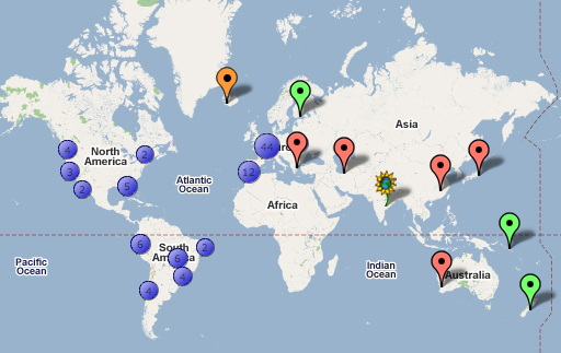
User World Map
yes, we also have a User World Map:
To add yourself to this map click...
- here: ZeeMAPS
- click on “login” (not on “sign-in”) and,
- use the password: ojmember