Introduction
back to Index page
OpenJUMP is a GIS (Geographic Information System) deriving from JUMP Workbench developed by Vivid Solutions Inc. and Refraction Research, Inc., BC, Canada. The name "JUMP" is the abbreviation of Unified Mapping Platform, while J points out the "Java" programming language on which OpenJUMP is based. "Open" is for 'Open Source'. OpenJUMP is distribuited under GNU General Public Licence and it is developed and mantained by a community of programmers and users around the World.
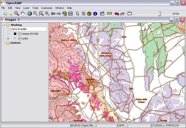
OpenJUMP has easy to use and advanced editing and drawing capability: features can be scaled, moved, duplicated. The Tools section provides a flexible and complete list of querry and editing tools. OpenJUMP can load vector, raster and database files thanks to a complete set of plugins, constantly extended by developers.
